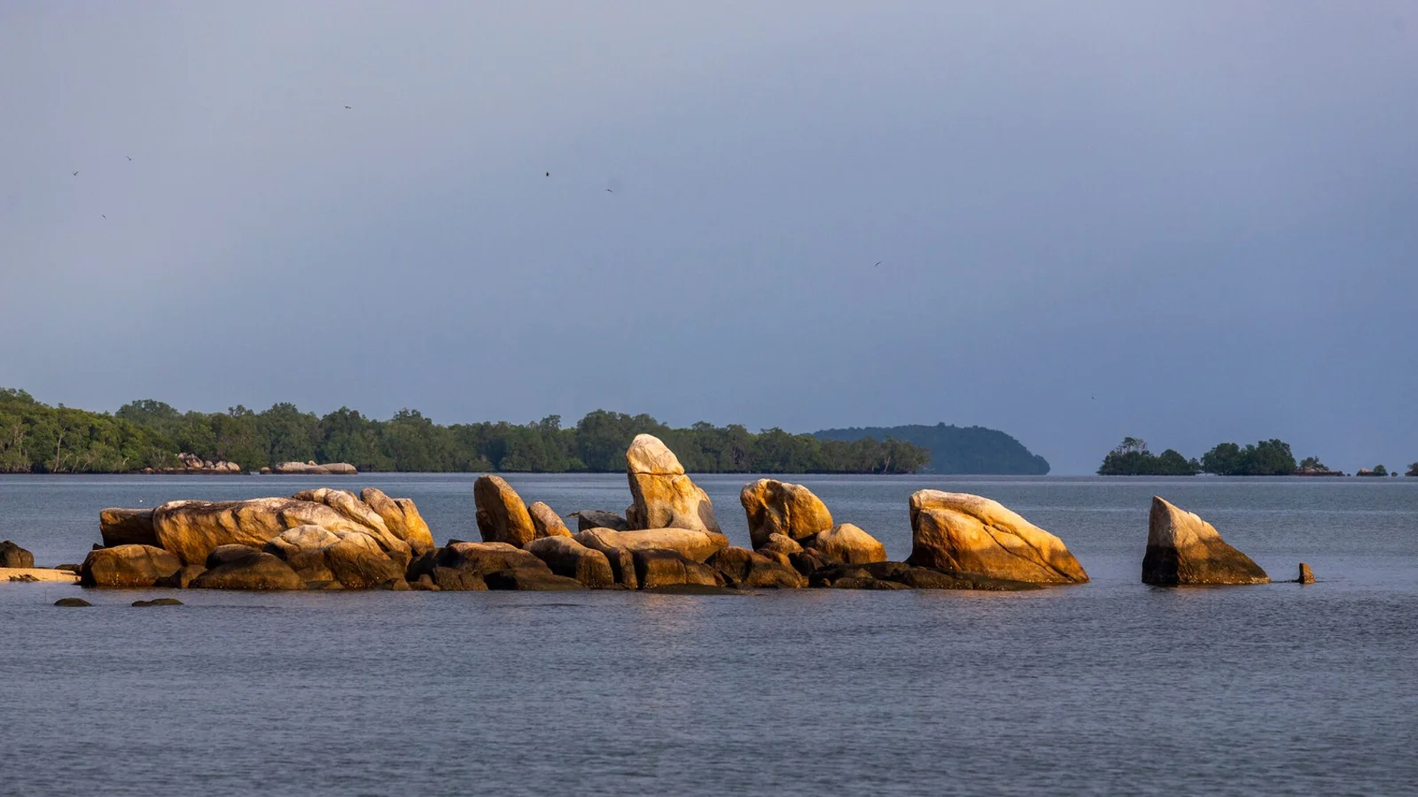
Photo: Martin Lukas
Menguru, Cendil v., Ke- lapaKampit sd., EBd.
Coordinates: 3° 0’ 42” South Latitude (SL) & 108° 3’ 14” East Longitude.
Accessibility: Around 49km (75 minutes) from Hanandjoedin Airport by road.
The Batu Pulas is a representation of the Kelapa Kampit metasediment that became quartzite rocks and magnetic rocks as a result of basaltic lava intrusion.
Visitors can enjoy the hilly landscapes, valleys and plain forests of the nearby Kerangas region alongside beaches and beautiful small islands. The area also has a wealth of flora & fauna in the within the Kerangas and other forests on the small islands.
Coordinates: 3° 0’ 42” South Latitude (SL) & 108° 3’ 14” East Longitude


